Welcome to Wharram
CLICK FOR 2021 CENSUS DATAIntroduction
Wharram is a civil parish in North Yorkshire, England. It lies on the Yorkshire Wolds, 6 miles (10 km) south-east of Malton. The principal settlement is the village of Wharram-le-Street, and the parish also includes the deserted medieval village of Wharram Percy and the deserted medieval villages (now hamlets) of Raisthorpe and Burdale, some 3 miles (5 km) south of Wharram-le-Street. The population of the parish was estimated at 120 in 2016.The parish consists of high Wolds, rising to 741 feet (226 m) above sea level, into which are cut a number of dry valleys. In the north-east of the parish is the head of the Great Wold Valley. A deep valley, known variously as Water Dale and Burdale, runs across the south of the parish from Fimber in the east to Thixendale in the west, and a series of shorter valleys (Court Dale, William Dale, Fairy Dale, Middle Dale and Whay Dale) cut into the northern side of this valley. In the west of the parish, Drue Dale joins Deep Dale to form a broader valley in which Wharram Percy lies. In the 19th century the Malton and Driffield Junction Railway was built though these valleys from north to south, connected by the Burdale Tunnel. The wolds and valleys of the parish are now linked by three long-distance footpaths, the Yorkshire Wolds Way, the Chalkland Way and the Centenary Way. The parish was created in 1935, when the civil parishes of Wharram-le-Street (population 133), Wharram Percy (population 40) and Raisthorpe and Burdale (population 89) were abolished. At that time the parish was part of Norton Rural District in the East Riding of Yorkshire. In 1974 it was transferred to the new county of North Yorkshire and Ryedale District.
Parish Information
Parish statistics
Area |
2,285 hectares |
|---|---|
Population |
329 (2021) |
Density |
14 people/km2 |
Mean age |
|
Ward |
Wolds |
District |
Ryedale |
Postcodes |
YO17 |
ONS ID |
E04007649 |
Council
Contact details for Wharram Parish Council, including current councillors, precept data and election results.
Education
View educational establishments in Wharram Parish. Data includes OFSTED rating and current appointed governors.
Business
Business directory listing local businesses operating within Wharram Parish.
Property
Price paid data for all property sold in Wharram Parish since 2018. Includes average prices for each property type.
Heritage
Local heritage sites, historic churches, heritage pubs plus local heritage initiatives for Wharram Parish.
Local News

Hosted and licensed by Gazette Herald
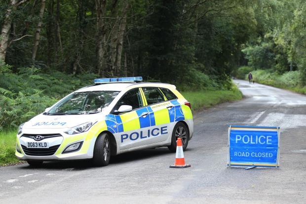
Four miles of B1429 south of Malton is closed to drivers
Published: 9th Apr 2024

Hosted and licensed by York Press
Wharram-le-Street villagers launch bid to make B1248 safer | York Press
Published: 9th Jan 2014

Hosted and licensed by Gazette Herald
Lorry driver dies in crash on B1248 at Wharram Le Street
Published: 10th Apr 2024